Drone technology is rapidly transforming multiple industries by providing aerial data, automation, and cost efficiency.
Agriculture
Agricultural drones help farmers with:
- crop monitoring
- pesticide spraying
- plant health analysis
Mapping and Surveying
Drones create high-resolution maps using photogrammetry and LiDAR.
Infrastructure Inspection
They inspect:
- power lines
- bridges
- wind turbines
- oil pipelines
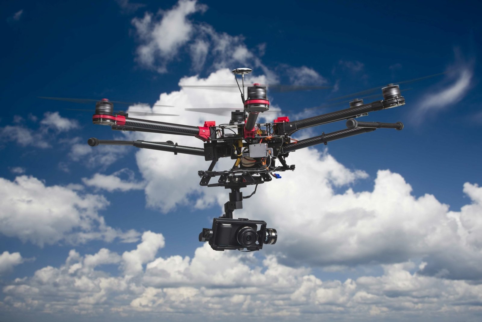
Film and Media
Cinematography drones provide aerial footage previously only possible with helicopters.
Emergency Response
Search and rescue teams use drones to locate missing persons and assess disaster zones.